
Columbia Vicinity WALL Map, South Carolina, America.
$249.95
In stock
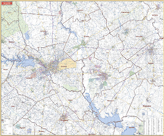
Scale 1:186,000. Size 63" W x 54" H. Laminated. Printed in color with a markable and washable laminated surface with cities indexed on the face of the map. Mounted top and bottom with hanging rails. Area of coverage: includes the counties of Calhoun, Clarendon, Darlington, Fairfield, Kershaw, Lee, Lexington, Richland, Sumter, and portions of Aiken, Orangeburg, Dorchester, Berkeley, Williamsburg, Florence, Chesterfield, Lancaster, and Chester Counties. Boundaries are as follows: North: 50 miles North of Elgin in Lancaster County and Jefferson in Chesterfield County; South: 50 miles South to include all of the city of Orangeburg; East: 80 miles East to include Florence and Bennettsville in Marlboro County; West: 30 miles West of Columbia to include all of the town of Batesburg and portions of the town of Newberry. Details include: major streets and all highways, county lines and names, mileage circles, ZIP codes and boundaries, airports and parks, water features, and longitude and latitude lines. Railed wall maps can be turned into pull down maps on spring rollers for an additional $30.
Scale 1:186,000. Size 63" W x 54" H. Laminated. Printed in color with a markable and washable laminated surface with cities indexed on the face of the map. Mounted top and bottom with hanging rails. Area of coverage: includes the counties of Calhoun, Clarendon, Darlington, Fairfield, Kershaw, Lee, Lexington, Richland, Sumter, and portions of Aiken, Orangeburg, Dorchester, Berkeley, Williamsburg, Florence, Chesterfield, Lancaster, and Chester Counties. Boundaries are as follows: North: 50 miles North of Elgin in Lancaster County and Jefferson in Chesterfield County; South: 50 miles South to include all of the city of Orangeburg; East: 80 miles East to include Florence and Bennettsville in Marlboro County; West: 30 miles West of Columbia to include all of the town of Batesburg and portions of the town of Newberry. Details include: major streets and all highways, county lines and names, mileage circles, ZIP codes and boundaries, airports and parks, water features, and longitude and latitude lines. Railed wall maps can be turned into pull down maps on spring rollers for an additional $30.
| Item Price | $249.95 + $24.80 p&h (add $40 for spring rollers) |
|---|
Write Your Own Review