
Great Britain and Ireland, Road and Physical Map.
$17.95
In stock
Scale 1:1,000,000. Size 40" across x 50" high. Fully indexed. Shows all types of roads, road numbers, distances between points in both miles and kilometers, railways, car ferries and ferry lines, airports, navigation routes, religious buildings, historic houses, castles, ruins, caves, prehistoric monuments, other places of interest, scenic routes (a wonderful feature), national forests, and national parks. English and multilingual legends. Michelin edition. Excellent map. SAMPLE MAP
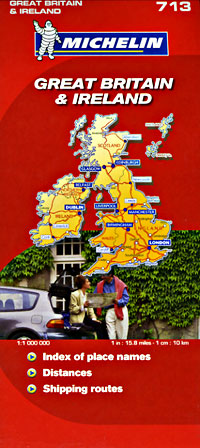
Scale 1:1,000,000. Size 40" across x 50" high. Fully indexed. Shows all types of roads, road numbers, distances between points in both miles and kilometers, railways, car ferries and ferry lines, airports, navigation routes, religious buildings, historic houses, castles, ruins, caves, prehistoric monuments, other places of interest, scenic routes (a wonderful feature), national forests, and national parks. English and multilingual legends. Michelin edition. Excellent map. SAMPLE MAP
| Item Price | $17.95 |
|---|
Write Your Own Review