
LONDON: Geographers' A-Z Master ATLAS of Greater London.
$42.95
In stock
Scale 1:20,500. Size 7"x10". 328 pages. Geographers A-Z edition. Fully indexed. Spiral binding makes this atlas so convenient to use. Features: 328 pages of street maps, with overlaps to adjoining pages; 18 pages of maps at 1:7,000 scale give additional clarity and detail in the congested central areas including one-way streets and toilets. 8 pages of Road Maps at 1:21,000 scale, show access routes to London and cover much of the Home Counties area. Also included are colored Underground Map, London Connections Railway Map, West End Cinema and Theatre Maps; 114 pages of index to streets; indexes to Places and Areas, Hospitals, Stations and Places of Interest. This Street Atlas covers the Greater London area; it is printed in full color to show motorways, A and B roads; postal districts and postcode boundaries; borough bound?aries, built-up areas, green areas and water features. It extends to Potters Bar, Epping, Brentwood, Gravesend, Sevenoaks, Caterham, Leatherhead, Woking, Windsor, Slough, and Chorleywood. The Master Atlas uses index references identical with the Nine Sheet Master Map series listed below, although with differing limits they can be used in conjunction with each other.
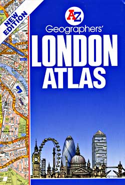
Scale 1:20,500. Size 7"x10". 328 pages. Geographers A-Z edition. Fully indexed. Spiral binding makes this atlas so convenient to use. Features: 328 pages of street maps, with overlaps to adjoining pages; 18 pages of maps at 1:7,000 scale give additional clarity and detail in the congested central areas including one-way streets and toilets. 8 pages of Road Maps at 1:21,000 scale, show access routes to London and cover much of the Home Counties area. Also included are colored Underground Map, London Connections Railway Map, West End Cinema and Theatre Maps; 114 pages of index to streets; indexes to Places and Areas, Hospitals, Stations and Places of Interest. This Street Atlas covers the Greater London area; it is printed in full color to show motorways, A and B roads; postal districts and postcode boundaries; borough bound?aries, built-up areas, green areas and water features. It extends to Potters Bar, Epping, Brentwood, Gravesend, Sevenoaks, Caterham, Leatherhead, Woking, Windsor, Slough, and Chorleywood. The Master Atlas uses index references identical with the Nine Sheet Master Map series listed below, although with differing limits they can be used in conjunction with each other.
| Item Price | $42.95 + $7.80 p&h or $18.80 foreign delivery |
|---|
Write Your Own Review