
Boulder and Golden Area.
$17.95
In stock
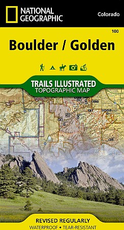
Scale 1:50,000. Size 26"x38". The Boulder/Golden Trails Illustrated map is the most comprehensive recreational map for the northern Colorado Front Range.
Coverage includes Boulder County Open Space Parks, City of Boulder Open Space and Mountain Parks, Jefferson County Open Space Parks, Eldorado and Golden Gate Canyon State Parks, Denver Mountain Parks, Arapaho, Roosevelt and Pike national forests. Also includes Boulder, Golden, Evergreen, Lyons, Lakewood, Morrison, and Aspen Park.
| Item Price | $17.95 |
|---|
Write Your Own Review