
Ozark Scenic National Waterway map, America.
$16.95
In stock
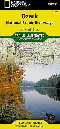
Trails Illustrated edition. A comprehensive, two-sided topographic map of the Ozark National Scenic Riverways. Includes comprehensive river and trail mileages, campsite and recreational points-of-interest, and trail descriptions for the Ozark Trail, Pioneer Forest Lands, Montauk State Park, and State Conversation Areas. Insets provide information on local hunting, fishing, ATV, equistrian, and spelunking regulations. Printed on 100% plastic material which is waterproof and tear-resistant, ideal for backpacking or river trips. Map includes UTM, Lat/Lon grids, and declination information for use with GPS or compass.
Trails Illustrated edition. A comprehensive, two-sided topographic map of the Ozark National Scenic Riverways. Includes comprehensive river and trail mileages, campsite and recreational points-of-interest, and trail descriptions for the Ozark Trail, Pioneer Forest Lands, Montauk State Park, and State Conversation Areas. Insets provide information on local hunting, fishing, ATV, equistrian, and spelunking regulations. Printed on 100% plastic material which is waterproof and tear-resistant, ideal for backpacking or river trips. Map includes UTM, Lat/Lon grids, and declination information for use with GPS or compass.
| Item Price | $16.95 |
|---|
Write Your Own Review