
Baja California North and South, Road and Tourist Map, Mexico.
$32.95
In stock
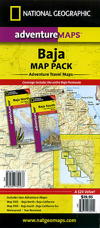
Scale 1:450,000. Size 25"x38". National Geographic edition. New! National Geographic s Baja California and Baja California Sur AdventureMaps combine detailed terrain with local information ideal for more adventurous travelers. Together the two maps cover the entire Baja peninsula and include detailed insets of Tijuana, Mexicali, Ensenada, La Paz, San Jose Del Cabo, Cabo San Lucas, and the Cabo Resort Corridor.
Our Baja Bundle Pack combines both the North and South Baja Adventure Maps in one value priced pack, a savings of 15% versus purchasing the maps individually. Visit our Baja North or Baja South pages to view the maps in detail.
Coverage Highlights: Federally Protected Areas; including Parks and Reserves : Provided by the Nature Conservancy of Mexico Detailed Road Network, Ferry Routes, and Mileage Charts UNESCO World Heritage Sites Historic Mission Locations Popular Diving, Surfing, Fishing, Snorkeling, Whale Watching, and Scenic Viewpoint Locations Detailed terrain with Shaded Relief Useful Travel Information
The Baja California North map covers the entire State of Baja California, the northernmost half of the Baja California Peninsula. Our Baja South map covers, Baja California Sur, the second and southernmost Mexican State on the peninsula.
| Item Price | $32.95 |
|---|
Write Your Own Review