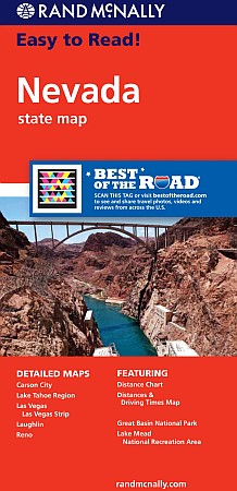
Nevada "Easy to Read" Road and Tourist Map, America.
$12.95
In stock
Rand McNally edition. The map has clearly labeled Interstate, U.S., state, and county highways; a mileage chart and a Mileages & Driving Times Map; indications of parks, points of interest, airports, county boundaries, and more; easy-to-use legend; and a detailed index. Detailed inset maps include: Carson City, Lake Mead National Recreation Area, Lake Tahoe Region, Las Vegas, Las Vegas Strip, Laughlin, and Reno.
Rand McNally edition. The map has clearly labeled Interstate, U.S., state, and county highways; a mileage chart and a Mileages & Driving Times Map; indications of parks, points of interest, airports, county boundaries, and more; easy-to-use legend; and a detailed index. Detailed inset maps include: Carson City, Lake Mead National Recreation Area, Lake Tahoe Region, Las Vegas, Las Vegas Strip, Laughlin, and Reno.
| Item Price | $11.95 |
|---|
Write Your Own Review


