
Camden County WALL Map, New Jersey, America.
$249.95
In stock
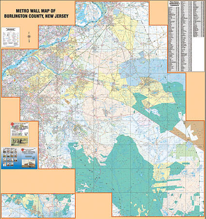
Scale 1:2,150. Size 54" W x 67" H. Laminated. Printed in color with a markable, washable-laminated surface. Streets are indexed in a separate book. Hanging rails included mounted top and bottom. The area of coverage includes all of Camden County with the following boundaries:North: Pennsauken; South: Winslow; East: Waterford; West: Camden & Gloucester County lines. Details include streets and highways, government buildings, airports, mileage circles, water features, hospitals, shopping centers, educational facilities, railroads, recreational parks, golf courses and country clubs, cemeteries, ZIP code numbers/boundaries, city limits/annexations, and points of interest. Railed wall maps can be turned into pull down maps on spring rollers for an additional $40.
Scale 1:2,150. Size 54" W x 67" H. Laminated. Printed in color with a markable, washable-laminated surface. Streets are indexed in a separate book. Hanging rails included mounted top and bottom. The area of coverage includes all of Camden County with the following boundaries:North: Pennsauken; South: Winslow; East: Waterford; West: Camden & Gloucester County lines. Details include streets and highways, government buildings, airports, mileage circles, water features, hospitals, shopping centers, educational facilities, railroads, recreational parks, golf courses and country clubs, cemeteries, ZIP code numbers/boundaries, city limits/annexations, and points of interest. Railed wall maps can be turned into pull down maps on spring rollers for an additional $40.
| Item Price | $249.95 + $24.80 p&h (add $40 for spring rollers) |
|---|
Write Your Own Review