
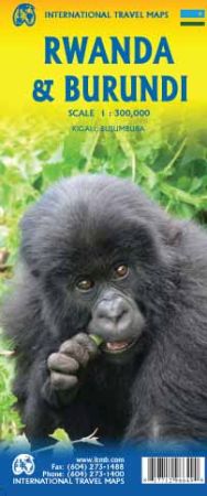
Rwanda and Burundi, Road and Physical Travel Reference Map.
Scale 1:300,000. Size 27"x39". Indexed. International Travel Maps edition.
Two of the most interesting countries in Africa to visit are the land-locked nations of Rwanda and Burundi. The local people are from one of two tribal groupings, either Hutu or Tutsi. Both are easily identified by size, and the Tutsi tend to be tall and thin, while the Hutu are normally considerably shorter.
They don’t particularly like each other, so visitors should avoid discussing the recent genocidal wars that tore both countries apart in the 1990s. Today, relative peace and harmony exists and the economy has returned to normal, so both countries are safe to visit.
The map of Rwanda includes an inset map of Kigali, the capital, and the Burundi side includes an inset map of Bujumbura, on Lake Tanganyika. Both countries are largely rural, with the majority of inhabitants located in small villages. Governed by Belgium during the colonial era, older buildings still show a European style.
There are few monuments to the early days of African exploration, but in the very south of Burundi there is a memorial to two of the great European explorers – Burton and Speke.
| Item Price | $17.95 |
|---|