
Trinidad Road Maps | Detailed Travel Tourist Driving
|
Trinidad Road Maps |
Trinidad
- $17.95
Item Code : FREY14096
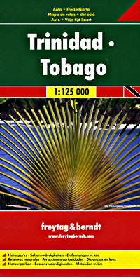
 Scale 1:125,000. Size 30"x41". Freytag & Berndt edition. Indexed. English and multi-lingual legends. This is our largest scale map of Trinidad and Tobago. Beautiful shaded relief. Easy to ready. Very detailed!.
 - $17.95
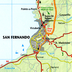
Item Code : ITMB14095
Scale 1:150,000. Size 27"x39". International Travel Maps edition.
This is our newest map for the Caribbean region and essentially replaces the now-defunct Rough Guide map for this country. Trinidad has a chequered history.
First ‘discovered’ by Columbus, and named Holy Trinity, its inhabitants were fairly quickly deported as slaves to work in Spanish colonies elsewhere. Sir Walter Raleigh, who was little more than a pirate in spite of later saving England from the Spanish Armada, sacked the only Spanish settlement in 1595. Britain captured the island in 1797, adding Tobago to its administration in 1889.
The country’s two claims to fame are the largest Carnival street festival in the world, and having the world’s largest lake of boiling asphalt. Tobago has an amazing history, having changed colonial masters 30 times in a century, as Britain, France, and Spain competed for dominance in the Caribbean. Nowadays, both islands are tourist havens, with delightful caves to explore on Trinidad and scuba diving on Tobago. This is a very detailed map, printed on paper, single-sided.
- $19.95
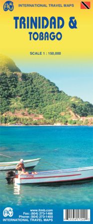
Item Code : REIS14097
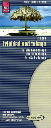
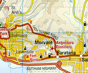 Scale 1:150,000. Size 27"x39". Reis Know How edition. Very detailed Trinidad and Tobago road map. English and multi-lingual legends. Printed on tear-resistant, waterproof, paper-like plastic. It can bend and fold without cracking and is writeable as normal paper, non-toxic and recyclable. Perfect for tourist adventures and independent travel and for driving tours. Includes topographic contour lines and hypsometric color tints which show height levels, along with elevation numbers. Shows all major and secondary roads and tertiary roads, with distances between points in kilometers. Fully indexed. Beautiful cartography.
 - $14.95
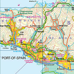
Item Code : TRIN14098
Scale 1:150,000. Trinidad Government edition.
|
Trinidad Road Maps |
