
$229.95
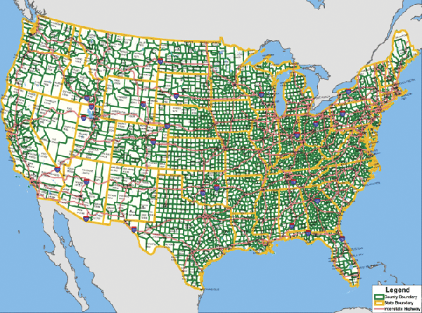
Scale 1:35,00,000. Size 75" W x 54" H. Laminated. This edition wall map of the United States with County Populations by Universal Map measures. Printed in color with a markable and washable laminated surface. Has hanging rails on top and bottom for ease in mounting. Details include state names and boundaries, time zones, U.S. Interstate highways, county names and boundaries, and county populations from 2000 Census. Railed wall maps can be turned into pull down maps on spring rollers for an additional $40.
Write Your Own Review