
$229.95
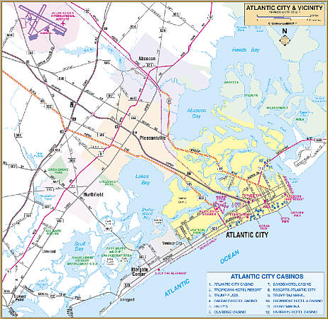
Scale 1:3,194. Size 62" W x 53" H. Laminated. The Wall Map of Atlantic City, Atlantic County, New Jersey area by Universal Map. Provides up-to-date cartography with new streets and changes. Printed in color with a markable and washable laminated surface. Mounted top and bottom with hanging rails. Compatible with the Franklin Map Guide and Directory. Indexed in a separate book. The area of coverage ranges: North: to the Burlington-Camden County line; South: to the Cape May County line; East: to the Atlantic Ocean; West: to the Gloucester-Cumberland County line. Includes an inset map of Downtown Atlantic City. Details include airports, all streets and highways, government buildings, cemeteries, shopping centers, fire and police stations, hospitals, water features, educational facilities, railroads, recreational parks, golf courses and country clubs, post offices, city limits and annexations, ZIP codes and ZIP code boundaries, and points of interest. Railed wall maps can be turned into pull down maps on spring rollers for an additional $40.
Write Your Own Review