
$249.95
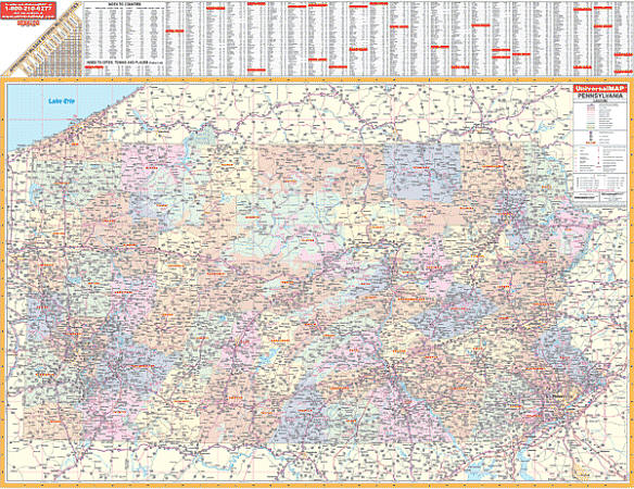
Scale 1:640,000. Size 65" W x 52" H. Laminated. The 2nd Edition State of Pennsylvania Wall map by Universal Map is laminated with a markable/washable surface. Hanging rails mounted top and bottom. Details include all state/federal highways, cities and towns, major waterways, all airports, state universities, state parks, wildlife areas, military installations, ski areas, rest areas, county seats, mileage chart between major cities, color coded county names and boundaries, and points of interest. Railed wall maps can be turned into pull down maps on spring rollers for an additional $40.
Write Your Own Review