
$229.95
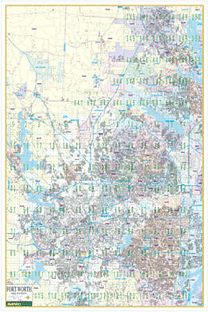
Scale 1:3,500. Size 51" W x 76" H. Laminated. Provides up-to-date cartography with new streets and changes. Printed in color on a markable/washable-laminated surface. Includes hanging rails mounted top and bottom. Streets are indexed in a separate book. Area of coverage: North: Denton; South: Mansfield and Crowley; East: Dallas/Ft. Worth International Airport; West: Pelican Bay and Azle. Details airports, all streets and highways, government buildings, cemeteries, shopping centers, fire/police stations, hospitals, water features, educational facilities, railroads, recreational parks, golf/country clubs, post offices, block numbers, ZIP codes/boundaries, and points of interest. Railed wall maps can be turned into pull down maps on spring rollers for an additional $40.
Write Your Own Review