
$12.95
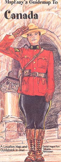
Size 18"x27". Various scales. Map Easy edition. Perfect for the intrepid or armchair traveller, this charming map combines the best of a guidebook and a location map, all in one. The map is color coded to include information about the country's provinces and national parks and most interesting sites. Printed on tear-proof, water-resistant, lightweight, paper-like plastic, that is incredibly durable. Also includes sketches of the landscape and interesting details about the country. Detailed city street plans of Toronto and Vancouver at approximately 1:10,000 scale are shown on the reverse side. You'll love this map!
Write Your Own Review