
$44.95
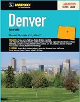
Scale 1:46,000. Size 8?"x11". 380 pages. Mapsco edition. The Denver, CO Regional Street Guide is a full-color street atlas, including: Arvada, Aurora, Black Hawk, Boulder, Brighton, Broomfield, Castle Pines North, Castle Rock, Centennial, Central City, Cherry Hills Village, Englewood, Golden, Greenwood Village, Idaho Springs, Lafayette, Lakeside, Lakewood, Littleton, Lochbuie, Lone Tree, Longmont, Louisville, Northglenn, Parker, Sheridan, Thornton, Westminster, and Wheat Ridge; and a MAPSCO Map Grid and MAPSCO-Kappa Grid Conversion Index; and features: Airports, Block Numbers, Colleges and Universities, Downtown Denver, Golf Courses, Parks and Rec Areas, Places of Interest, Schools, and ZIP Codes. Spiral-bound.
Write Your Own Review