
$249.95
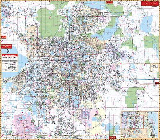
Scale 1:2,600. Size 76"x 60". Laminated. Contains a laminated surface which is markable and washable. Streets indexed in a separate book. Framing rails are included on top and bottom for easy wall mounting. The area of coverage ranges North: to the Volusia-Seminole County lines including Lake Monroe; South: to the Osceola County line; East: to include Christmas; West: to the Lake County line. Details include all streets and highways, mileage circles, shopping centers, water features, recreational parks, section/range/township lines, government buildings, fire and police stations, educational facilities, golf courses and country clubs, ZIP codes and boundaries, airports, post offices, hospitals, railroads, cemeteries, realtor reference numbers, city limits/annexations, and latitude and longitude lines. Block numbers and subdivision names added. Railed wall maps can be turned into pull down maps as a $40 option.
Write Your Own Review