
$17.95
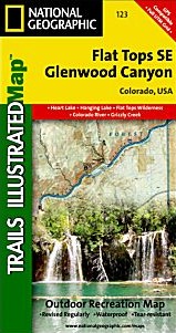
Scale 1:41,000. Size 22"x38". The Flat Tops SE/Glenwood Canyon Trails Illustrated map is the most comprehensive recreational map for this beautiful area of Colorado. Coverage includes: White River National Forest; Flat Tops Wilderness; Deep Creek Recreational Area; Eagle and Colorado rivers; Coffee Pot Lakes, Heart, Haypress, Hanging and Sweetwater lakes; Tibbett's Ridge; Glenwood Canyon Trail; and Cottonwood Pass.
Write Your Own Review