
$29.95
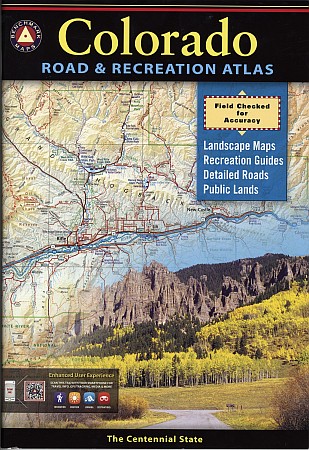
"Various scales". Size 10"x15?". 144 pages. Indexed. Benchmark Maps edition. Benchmark's Colorado Road & Recreation Atlas captures the story of Colorado...its fast-moving history, its tremendous mountains, its cool summer climate, glaciers and snow banks in high ranges, its immense forests and deep canyons. This atlas is a product of many minds, all committed to the same purpose - providing a complete a picture as possible of the Centennial State. The Landscape Maps reveal landforms with amazing realism and detail clearly showing how the state's vast network of roads and local recreation landmarks fit into the countryside. A complete 30-page Recreation Guide lists a myriad of outdoor activities, arranged by category, and is the ideal planning tool for any kind of outdoor adventure. Accompanied by its Colorado Recreation Map, you can be assured you are fully prepared for any outdoor excursion.
The Fourth Edition includes boundaries for State Wildlife Areas and completely updated recreation information. It also features a new enhanced user experience; just scan the 2D barcodes with your smartphone for additional travel information, GPS tracking, media, recreation, weather, lodging, destinations, & MORE! Benchmark field-checkers have driven over 30,000 miles to make sure the Colorado Road & Recreation Atlas is the most accurate, comprehensive, and reliable map product ever published for The Centennial State!
Write Your Own Review