
$12.95
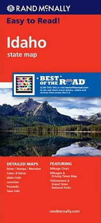
Size 28"x40". Rand McNally edition. The map also has detailed maps of Boise/Nampa/Meridian, Coeur dAlene, Idaho Falls, Lewiston, Pocatello, Twin Falls, Yellowstone & Grand Teton National Parks. Clearly labeled Interstate, U.S., state, and county highways; indications of parks, points of interest, airports, county boundaries, and more; a mileage and driving times map; and a detailed index.
Write Your Own Review