
$19.95
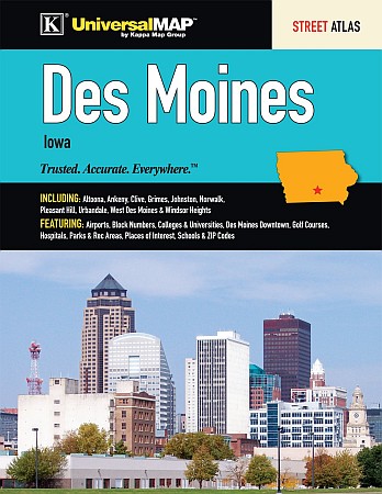
Universal Maps edition. The Des Moines, IA Atlas is a full-color street atlas, including Altoona, Ankeny, Clive, Grimes, Johnston, Norwalk, Pleasant Hill, Urbandale, West Des Moines, and Windsor Heights; and features: Airports, Block Numbers, Colleges and Universities, Des Moines Downtown, Golf Courses, Hospitals, Parks and Rec Areas, Places of Interest, Schools, and ZIP codes.
Write Your Own Review