
$12.95
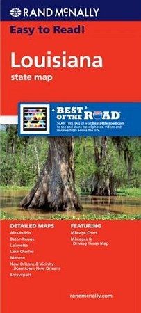
Rand McNally maps edition. Rand McNally's trusted cartography shows all Interstate, U.S., state, and county highways, along with clearly indicated parks, points of interest, airports, county boundaries, and streets. The map includes inset city maps of Alexandria, Baton Rouge, Lafayette, Lake Charles, Monroe, New Orleans & Vicinity, Downtown New Orleans, and Shreveport.
Write Your Own Review