
$249.95
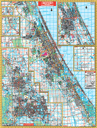
Size 54" W x 72" H. Laminated. The Daytona Beach, Metro Volusia and Flagler Counties, Florida Wall Map by Universal Map measures. Up-to-date cartography with new streets and changes, complete street detail, three sections each with its own grid system and indexing in a separate book, laminated surface making the map markable and washable. The area of coverage includes: East Volusia County; North: Flagler County line; South: Includes Oak Hill; West: Plantation Pines and Smokerise in Ormond; Saddle Club Estate; Sopotnick's Corner & Samsula. West Volusia County North: Continuous coverage of Pierson, Barberville, DeLeon Springs, Connersville, Eldridge, and Seville; South:To Seminole County line, including Debary and Osteen; Deltona; DeLand; Lake Helen; Cassadaga, and Orange County. Flagler County North: Includes Palm Coast and Matanzas Woods Golf Club; South: Volusia County line, including Beverly Beach and Flagler Beach; West: Includes Bunnell. Details provided on this map are all streets, post offices, hospitals, railroads, subdivisions, airports, cemeteries, shopping centers, water features, recreational parks city limits and annexations, government buildings, fire and police stations, educational facilities, golf courses and country clubs, ZIP codes and boundaries, section/township/ and range numbers, and points of interest. Framing rails are included on top and bottom for easy wall mounting. Railed wall maps can be turned into pull down maps on spring rollers for an additional $40.
Write Your Own Review