$36.95
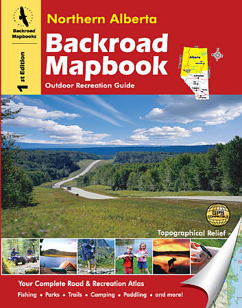
Scale 1:150,000. Size 8"x11". 136 pages. Mussio Ventures Ltd edition. Welcome to the new and improved second edition of Northern Alberta Backroad Mapbook. We have been hard at work tracking down substantial road and trail updates for the maps as well as adding countless new recreational opportunities in the written section. Indeed if you live or play up north, the Backroad Mapbook will help you get to where you want to go.
As you travel north along the BC/Alberta boundary, the Rocky Mountains begin to change. They are less sharp and jagged, taking on a more rounded appearance. The mountains also begin to shuffle further west, until finally the continental divide spills over into BC near the northern end of Willmore Wilderness Park. While there are still mountains north of here, they are small, never topping 1,500 metres (4,900 feet). As you head farther east, the landscape changes, turning first into northernmost prairie in Canada, and then into boreal forest that dominates the north. Finally, you will find an area of Canadian Shield in the northeastern corner of the province around Lake Athabasca.
The two largest centres are Grande Prairie in the west and Fort McMurray in the east. Grande Prairie sits in the heart of the northern prairies. It is an active city of over 40,000, and growing every year. The city is built on agriculture and logging, but much of its recent growth stems from oil and gas discovery. Fort McMurray, on the other hand, is an economy built on extracting oil and gas, primarily from the oil sands. The population of Fort Mac has boomed to over 70,000 over the last decade, and shows no sign of stopping.
Write Your Own Review


