
$17.95
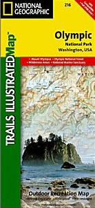
Scale 1:100,000. Size 25"x38". Trails Illustrated edition. Printed on waterproof, tear-resistant, lightweight, paper-like plastic. This Trails Illustrated topographic map is the most comprehensive recreational map for Washington's Olympic National Park. Within the park, there is detailed coverage of Mount Olympus, Tshletshy Ridge, Hurricane Ridge, Huelsdonk Ridge, Bailey Range, camping areas, facilities, ranger stations, nature trails, waterfalls, boat launches, and much more. Also included are the Mount Skokomish Wilderness, Ozette Lake, Lake Pleasant, Lake Crescent, Lake Mills, and Olympic National Forest.
Write Your Own Review