Scale 1:280,000. Size 27"x39". International Travel Maps edition.
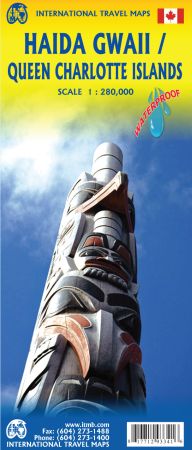
Although the name is new, the map is still our familiar QCI map in its seventh rendition. Times change, and a consensus has grown into a realization that the traditional indigenous name for the islands off BC’s shore should be recognized. At the same time, the official name still recognizes the historical relationship of Queen Charlotte and the early days of British trading.
Our former QCI map is now out of stock and past history, so please change your records and welcome the brand new HG/QCI map. To add extra value, we have added a new map of BC’s coastline to the reverse side, covering from the US border north to Prince Rupert.
As well, both sides have their own Top Attractions lists to focus attention on major sites, such as Ninstints at the southern tip of HG. As in the past, this edition is printed on tear-resistant waterproof paper.