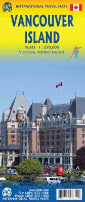
Vancouver Island, Road and Physical Travel Reference Map "8th Edition", British Columbia, Canada.
$17.95
In stock
Scale 1:270,000. Size 27"x39". International Travel Maps edition. Indexed. English text and legends. Elevations and topographic features are shown by hypsometric color tints. Includes considerable useful travel information.
British Columbia's famous Vancouver Island is one of the great touristic attractions of North America. It hosts the provincial capital at Victoria, Butchart Gardens, the logging museum at Duncan, the painted walls at Chemanus, Long Beach at Tofino, and the Totem poles of Alert Bay. It is linked to the USA by ferries from Seattle and Port Angeles, and by ferries from Vancouver and Powell River, as well as by float planes and airports. About 400,000 people live on the island, but the population expands to over a million during the busy summer season.
The island offers something for everyone. All the urban areas are small enough to be easily walkable, hikers revel in the challenges of the West Coast Trail (for which you need a separate map), canoeists can take a week exploring the Broken Islands, and everyone can walk the twelve-mile Long Beach. This is a camper's heaven, with hundreds of wilderness campsites and thousands of kilometers of back road logging routes to explore, mountains to climb, and fiords to boat. No wonder this is such a popular travel destination! Inset maps of Victoria and Tofino are included.
| Item Price | $17.95 |
|---|
Write Your Own Review


