
Boston and Eastern Massachusetts Street ATLAS, Massachusetts, America.
$46.95
In stock
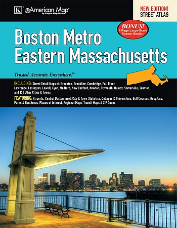
American Map Company edition. The Boston Metro and Eastern Massachusetts Atlas is a full-color street atlas, including street-detail maps of: Brockton, Cambridge, Fall River, Lawrence, Lexington, Lowell, Lynn, Medford, New Bedford, Newton, Plymouth, Quincy, Somerville, Taunton, and 151 other cities and towns; and features: Airports, a Central Boston inset, City and Town statistics, Colleges and Universities, Golf Courses, Hospitals, Parks and Rec Areas, Places of Interest, Regional Maps, Transit Maps, and ZIP Codes.
American Map Company edition. The Boston Metro and Eastern Massachusetts Atlas is a full-color street atlas, including street-detail maps of: Brockton, Cambridge, Fall River, Lawrence, Lexington, Lowell, Lynn, Medford, New Bedford, Newton, Plymouth, Quincy, Somerville, Taunton, and 151 other cities and towns; and features: Airports, a Central Boston inset, City and Town statistics, Colleges and Universities, Golf Courses, Hospitals, Parks and Rec Areas, Places of Interest, Regional Maps, Transit Maps, and ZIP Codes.
| Item Price | $46.95 + $7.50 p&h or $28.50 foreign delivery |
|---|
Write Your Own Review