
California Northern Vicinity WALL Map America.
$229.95
In stock
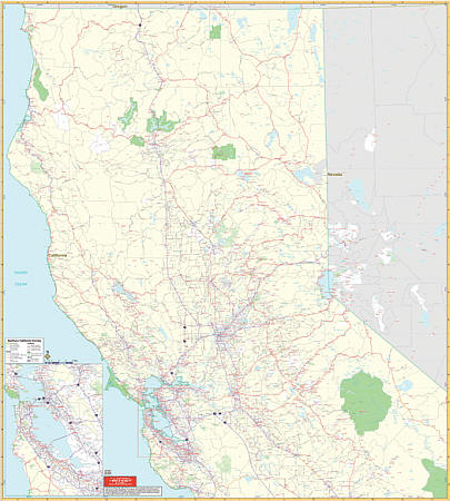
Scale 1:17,111. Size 54" W x 60" H. Laminated. The Northern California Vicinity Wall Map by Universal Map. Printed in color with a markable and washable laminated surface. Cities are indexed and included in seperate index book and insets include San Francisco/Oakland. Coverage extends north to Crescent City and Dorris, south to include Santa Cruz and Madera, east to South Lake Tahoe and Mammoth Lakes, and west to include Arcata and San Francisco. Details include major streets and all highways, ZIP codes and boundaries, latitude and longitude lines, county lines and names, parks and amusement centers, water features, government buildings and federal penitentiaries, military instiutions and airports, and mileage circles. Railed wall maps can be turned into pull down maps on spring rollers for an additional $40.
Scale 1:17,111. Size 54" W x 60" H. Laminated. The Northern California Vicinity Wall Map by Universal Map. Printed in color with a markable and washable laminated surface. Cities are indexed and included in seperate index book and insets include San Francisco/Oakland. Coverage extends north to Crescent City and Dorris, south to include Santa Cruz and Madera, east to South Lake Tahoe and Mammoth Lakes, and west to include Arcata and San Francisco. Details include major streets and all highways, ZIP codes and boundaries, latitude and longitude lines, county lines and names, parks and amusement centers, water features, government buildings and federal penitentiaries, military instiutions and airports, and mileage circles. Railed wall maps can be turned into pull down maps on spring rollers for an additional $40.
| Item Price | $229.95 + $24.80 p&h (add $40 for spring rollers) |
|---|
Write Your Own Review