
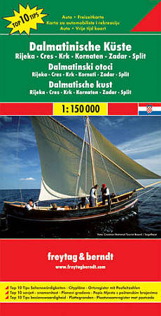
Dalmatian Coast, Road and Shaded Relief Tourist Map, Croatia.
$17.95
In stock
Scale 1:150,000. Size 34"x49". Freytag & Berndt edition. Fine cartography shows major and secondary roads, railways, topographic lines and elevations, tracks, footpaths, churches, ruins, lighthouses, caves, dangerous cliffs and rocks, frontier crossings, harbormaster offices, anchoring places for ships and yachts, camping, tourist hotels, petrol stations, panoramic views, historical and cultural places, national parks, preserves, and forests. Laminated card cover. English and multilingual legends.
Scale 1:150,000. Size 34"x49". Freytag & Berndt edition. Fine cartography shows major and secondary roads, railways, topographic lines and elevations, tracks, footpaths, churches, ruins, lighthouses, caves, dangerous cliffs and rocks, frontier crossings, harbormaster offices, anchoring places for ships and yachts, camping, tourist hotels, petrol stations, panoramic views, historical and cultural places, national parks, preserves, and forests. Laminated card cover. English and multilingual legends.
| Item Price | $17.95 |
|---|
Write Your Own Review