
Dupage County WALL Map, Illinois, America.
$229.95
In stock
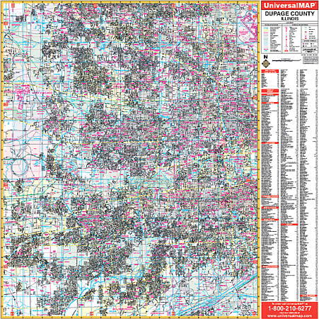
Scale 1:2,346. Size 54" W x 54" H. Laminated. The 2nd edition Dupage County, Illinois Wall Map by Universal Map. Coverage includes all of Dupage County with boundaries -- North: to the Cook County line; South: to the Will County line; East: to the Cook County line; West: to the Kane County line. Shows airports, cemeteries, hospitals, railroads, post offices, points of interest, all streets/highways, shopping centers, water features, recreational parks, mileage circles, city limits and annexations, government buildings, fire/police stations, educational facilities, golf courses/country clubs, ZIP codes/boundaries, and section/township/range lines. Framing rails are included on top and bottom for easy wall mounting. Railed wall maps can be turned into pull down maps on spring rollers for an additional $40.
Scale 1:2,346. Size 54" W x 54" H. Laminated. The 2nd edition Dupage County, Illinois Wall Map by Universal Map. Coverage includes all of Dupage County with boundaries -- North: to the Cook County line; South: to the Will County line; East: to the Cook County line; West: to the Kane County line. Shows airports, cemeteries, hospitals, railroads, post offices, points of interest, all streets/highways, shopping centers, water features, recreational parks, mileage circles, city limits and annexations, government buildings, fire/police stations, educational facilities, golf courses/country clubs, ZIP codes/boundaries, and section/township/range lines. Framing rails are included on top and bottom for easy wall mounting. Railed wall maps can be turned into pull down maps on spring rollers for an additional $40.
| Item Price | $229.95 + $24.80 p&h (add $40 for spring rollers) |
|---|
Write Your Own Review