
Lake Tahoe Basin, Road and Recreation Map, California and Nevada, America.
$17.95
In stock
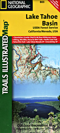
Scale 1:63,000. Size 25?"x38". Trails Illustrated edition. Printed on waterproof, tear-resistant, lightweight, paper-like plastic. This beautiful Trails Illustrated map of the Lake Tahoe Basin is sure to be a must have for visitors to the area. Trails are classified by use - hiking, horse and hike, mountain bike, shared use, or motorized - and includes a trail chart showing trail name, location, and allowed use.
Coverage includes: Lake Tahoe Basin Management Unit; Eldorado, Humboldt-Toiyabe and Tahoe National Forests; Desolation and Mt. Rose Wilderness Areas; Pacific Crest National Scenic and Rubicon OHV Trails; Emerald Bay, Burton Creek, Donner Memorial, Lake Tahoe Nevada, and Washoe Lake state parks; Mt. Tallac; Tahoe City, Homewood, Tahoma, South Lake Tahoe, Carson City, and much more.
| Item Price | $17.95 |
|---|
Write Your Own Review