
Ontario Road Maps | Detailed Travel Tourist Driving
|
Ontario Road Maps |
Ontario
- $17.95
Item Code : ITMB12183
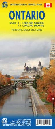
Scale 1:1,000,000/1:1,500,000. Size 27"x39". International Travel Maps edition.
Ontario is one of the largest provinces of Canada, equivalent in size to all of Europe. It naturally divides into two parts – the more southerly third and the much larger north. Its shape is determined by the Great Lakes, which form a natural boundary with the USA, but results in the most southerly portion of the province being on the same longitude as northern California.
In fact, Detroit is actually north of Windsor, Ont. By North American standards, Ontario is loaded with history, having been settled by United Empire Loyalists fleeing the rebellion in the southern American colonies. Toronto, then called York, was raided and burned by American soldiers during the War of 1812, an act that led to the British sacking of Washington and the burning of the Presidential mansion.
Yonge Street, built by my ancestors, is the longest street in the world, stretching north from Toronto’s waterfront to Georgian Bay and then becoming the main highway through northern Ontario to join the province to Manitoba. This is also the capital of Canada, in Ottawa, and of Ontario, in Toronto.
The province is also home to several great universities. In the north, three grand attractions are the giant Nickel in Sudbury, the giant Wawa Goose, and the grandest fur trading post in all of the Americas, Fort William (near Thunder Bay).
- $17.95
Item Code : ITMB10401
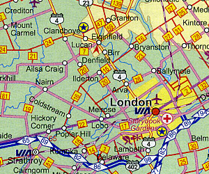
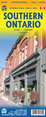 Scale 1:550,000. International Travel Maps edition. The Canadian province of Ontario is intimidatingly large. It is also mostly tundra with extremely few settlements and few roads; in fact, the geographic center of Ontario is about 1,500 kms north of the nearest road. The very first map I prepared, at age 10, was of Ontario; and it took me six weeks to trace all the lakes. My point is that the developed portion of the province is a much smaller wedge of fertile ground south of the mineral belt of the Great Canadian Shield. This double sided map focuses on the area south of Sudbury and North Bay and expands the scale to a much more useful purpose for most users. Imagine Detroit in the southwest corner of the map, with Highway 401 joining it to London and Toronto and a branch motorway cutting across to Buffalo. Add in the Bruce Peninsula and the major routes north to cottage country and you have side one. The other side stretches from Toronto east to the Quebec border and Ottawa, with the lovely Kawarthas region for exploring. My personal favourite highway is number 7, from Peterborough east through land settled two hundred years ago by Scottish Gaels. Perth is a perfectly preserved Scottish town of granite buildings. The map also includes a regional map of the main roads in the greater Toronto area and a separate inset of the downtown.
 - $14.95
Item Code : GMJO5557
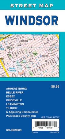
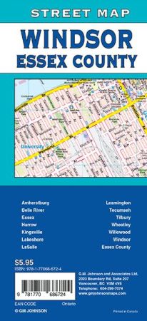 Scale 1:25,000. Size 27"x39". G.M. Johnson edition. This Map Coverage Area Amherstburg, Belle River, Essex, Harrow, Kingsville, Lakeshore, LaSalle, Leamington, Tecumseh, Tilbury, Wheatley, Willowood, Windsor, Essex County.
 - $14.95
Item Code : GMJO8880
Scale 1:31,000. Size 27"x39". G.M. Johnson edition. This Map Coverage Area are Toronto, East York, Etobicoke, North York, Scarborough, Downtown Toronto Map. - $14.95
Item Code : GMJO7782
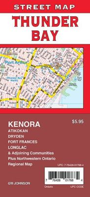
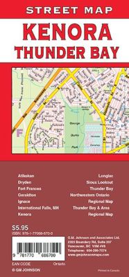 Scale 1:25,000. Size 27"x39". G.M. Johnson edition. This Map Coverage Area are Atikokan, Dryden, Fort Frances, Geraldton, Ignace, International Falls MN, Kenora, Longlac, Sioux Lookout, Thunder Bay, Northwestern Ontario Regional Map, Thunder Bay & Area Regional Map.
 - $14.95
Item Code : GMJO8889

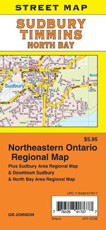 Scale 1:25,000. Size 27"x39". G.M. Johnson edition. This Map Coverage Area are Adamsdale, Cache Bay, Callander, Copper Cliff, East Ferris, Lo-Ellen, Minnow Lake, New Sudbury, Nickeldale, North Bay, Sturgeon Falls, Sudbury, Timmins, West Nipissing, Northeastern Ontario Regional, Sudbury Area Regional, Downtown Sudbury, North Bay Area Regional Map.
 - $14.95
Item Code : GMJO7714
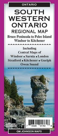
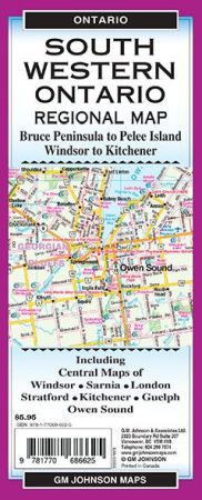 Scale 1:25,000. Size 27"x39". G.M. Johnson edition. This Map Coverage Area are South Western Ontario, Pelee Island, West Central Ontario, Central Windsor, Central Sarnia, Central London, Central Stratford, Central Kitchener, Central Guelph, Central Owen Sound.
 - $14.95
Item Code : GMJO8703
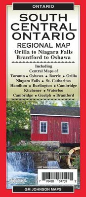
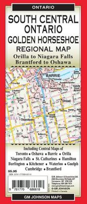 Scale 1:250,000. Size 27"x39". G.M. Johnson edition. This Map Coverage Area are South Central Ontario, Central Toronto, Oshawa, Barrie, Orillia, Niagara Falls, St.Catharines, Hamilton, Burlington, Kitchener, Waterloo, Cambridge, Guelph, Brantford.
 - $14.95
Item Code : GMJO8740
Scale 1:25,000. Size 27"x39". G.M. Johnson edition. This Map Coverage Area are Blind River, Chapleau, Elliot Lake, Espanola, Gros Cap, Manitouwadge, Marathon, Sault Ste. Marie, MI, Sault Ste. Marie, ON, Wawa, Soo Regional Map, Northeastern Ontario Regional Map. - $14.95
Item Code : GMJO8780
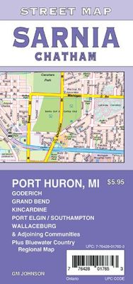
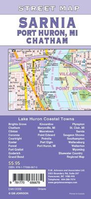 Scale 1:25,000. Size 27"x39". G.M. Johnson edition. This Map Coverage Area are Grove, Chatham, Clinton, Corunna, Courtright, Exeter, Forest, Fort Gratiot, Goderich, Grand Bend, Kincardine, Marysville, MI, Mooretown, Point Edward, Petrolia, Port Elgin, Port Huron, MI, Plympton, St. Clair, MI, Sarnia, Saugeen Shores, Southampton, Wallaceburg, Walkerton, Wyoming, Bluewater Country Regional Map.
 - $14.95
Item Code : GMJO98725
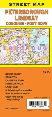
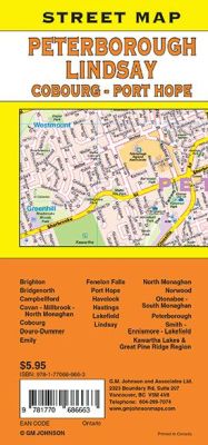 Scale 1:25,000. Size 27"x39". G.M. Johnson edition. This Map Coverage Area are Bobcaygeon, Brighton, Bridgenorth, Campbellford, Cavan-Millbrook-North Monaghan, Cobourg, Douro-Dummer, Emily, Fenelon Falls, Port Hope, Havelock, Hastings, Lakefield, Lindsay, North Monaghan, Norwood, Otonabee-South Monaghan, Peterborough, Smith-Ennismore-Lakefield, Kawartha Lakes & Great Pine Ridge Region.
 - $14.95
Item Code : GMJO89241
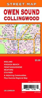
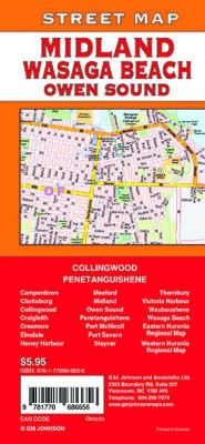 Scale 1:31,000. Size 27"x39". G.M. Johnson edition. This Map Coverage Area are Camperdown, Clarksburg, Collingwood, Craigleith, Creemore, Elmdale, Honey Harbour, Meaford, Midland, Owen Sound, Penetanguishene, Port McNicoll, Port Severn, Stayner, Thornbury, Victoria Harbour, Waubaushene, Wasaga Beach, Eastern Huronia Regional Map, Western Huronia Regional Map.
 - $14.95
Item Code : GMJO9983
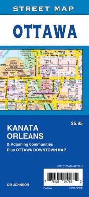 Scale 1:25,000. Size 27"x39". G.M. Johnson edition. This Map Coverage Area are Ottawa, Kanata, Orleans, Ottawa Downtown Map.
 - $14.95
Item Code : GMJO98788
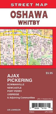
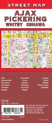 Scale 1:31,000. Size 27"x39". G.M. Johnson edition. This Map Coverage Area are Ajax, Bowmanville, Claremont, Clarington, Hampton, Haydon, Newcastle, Orono, Oshawa, Pickering, Port Perry, Raglan, Scugog, Solina, Whitby, Wilmot Creek, Uxbridge.
 - $14.95
Item Code : GMJO9888
 Size 27"x39". G.M. Johnson edition. This Map Coverage Area are Southwestern Ontario, Pelee Island, Southeastern Ontario, Central Ontario, Northern Ontario, Hamilton, Niagara Falls, Ottawa, Toronto.
 - $14.95
Item Code : GMJO7808
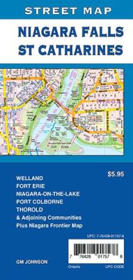
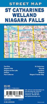 Scale 1:31,000. Size 27"x39". G.M. Johnson edition. This Map Coverage Area are Fort Erie, Niagara Falls, Niagara-on-the-Lake, Pelham, Port Colborne, St Catharines, Thorold, Wainfleet, Welland, Niagara Frontier Map.
 - $14.95
Item Code : GMJO9722

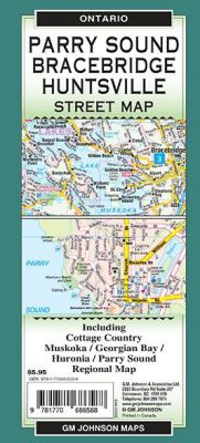 Scale 1:25,000. Size 27"x39". G.M. Johnson edition. This Map Coverage Area are Bracebridge, Cottage Country, Huntsville, Gravenhurst, Muskoka, Georgian Bay, Huronia and Parry Sound Regional Map.
 - $14.95
Item Code : GMJO7889
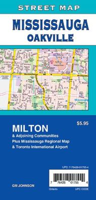
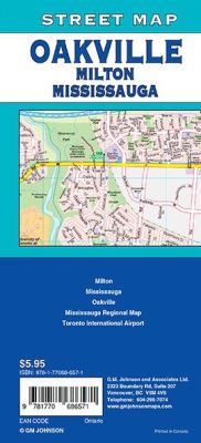 Scale 1:25,000. Size 27"x39". G.M. Johnson edition. This Map Coverage Area are Milton, Mississauga, Oakville, Mississauga Regional Map, Toronto International Airport.
 - $14.95
Item Code : GMJO9788
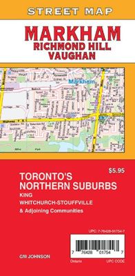
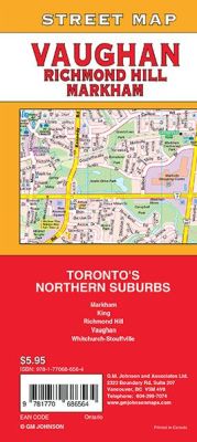 Scale 1:25,000. Size 27"x39". G.M. Johnson edition. This Map Coverage Area are Markham, King, Richmond Hill, Vaughan, Whitchurch-Stouffville.
 - $14.95
Item Code : GMJO8727
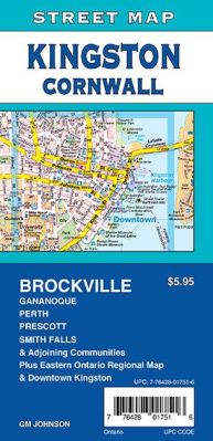
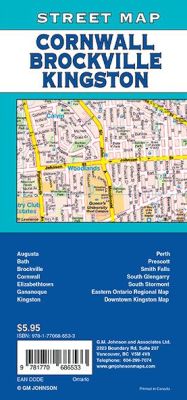 Scale 1:25,000. Size 27"x39". G.M. Johnson edition. This Map Coverage Area are Augusta, Bath, Brockville, Cornwall, Elizabethtown, Gananoque, Kingston, Perth, Prescott, Smith Falls, South Glengarry, South Stormont, Eastern Ontario Regional Map, Downtown Kingston Map.
|
Ontario Road Maps |
