
Canada's Maritime Provinces Road and Tourist Map.
$17.95
In stock
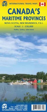
Scale 1:530,000. Size 27"x39". International Travel Maps edition.
Atlantic coast provinces of Canada remain one of our most popular travel destinations for Canada. Nova Scotia, with historic Halifax, has been British since the 1749. New Brunswick morphed out of Acadia with the arrival of tens of thousands of refugees fleeing persecution and violence in the southern American colonies in the 1770s. Prince Edward Island, now linked to the mainland by Confederation Bridge, was a separate colony until 1873.
The three combine ‘down-east’ hospitality with small-town friendliness. There is lots of history to enjoy, and for Anne of Green Gables fans, Cavendish farm still exists and is visited by thousands of enthusiasts every year. This is the map of the Magnetic Hill, the Petitcodiac Bore, Peggy’s Cove, Lunenburg, and dozens of interesting fishing ports. Easily reached from the rest of Canada and from the State of Maine, the Maritimes remains one of the most-visited places on earth, year after year. This double-sided map shows New Brunswick on one side and Nova Scotia/PEI on the other, along with an excellent inset map of Halifax.
| Item Price | $17.95 |
|---|
Write Your Own Review