
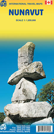
Nunavut Road and Physical Travel Reference Map.
Scale 1:1,850,000. Size 27"x39". International Travel Maps edition.
The far north of Canada, north of 60 degrees, consists of three territories; the Yukon, the Northwest Territories, and Nunavut. Until now, there has never been a proper map of the territory that was carved off from the NWT a quarter century ago.
With only 30,000 people and a scattering of settlements, Nunavut is larger than western Europe in area. This map took us years to prepare, using 1:250,000 government topo maps as a base and tracing thousands of little lakes. The traditional passageway of the fabled Northwest Passage is also shown.
The most northerly civilian community in the world is on the map – Grise Bay, as well as Alert, the most remote place on earth.
| Item Price | $17.95 |
|---|