
Paunsaugunt Plateau and Bryce, Road and Recreation Map, Utah, America.
$17.95
In stock
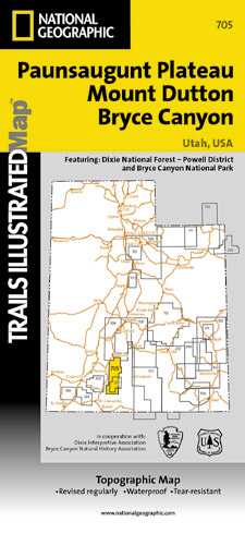
Scale 1:50,000. Size 25"x37". Trails Illustrated edition. Printed on waterproof, tear-resistant, lightweight, paper-like plastic. This Trails Illustrated topographic map is the most comprehensive and complete recreational map for Utah's Paunsaugunt Plateau/Mount Dutton/Bryce Canyon area. Coverage includes Dixie National Forest. Bryce Canyon National Park; Paunsaugunt Plateau; Red Canyon, Sunset and Pink Cliffs, Johns Valley, Casto Canyon, Swallow Park Ranch, Sevier Plateau and Pole Canyon; Tropic Reservoir, Cottonwood Creek and Sevier Creek.
Scale 1:50,000. Size 25"x37". Trails Illustrated edition. Printed on waterproof, tear-resistant, lightweight, paper-like plastic. This Trails Illustrated topographic map is the most comprehensive and complete recreational map for Utah's Paunsaugunt Plateau/Mount Dutton/Bryce Canyon area. Coverage includes Dixie National Forest. Bryce Canyon National Park; Paunsaugunt Plateau; Red Canyon, Sunset and Pink Cliffs, Johns Valley, Casto Canyon, Swallow Park Ranch, Sevier Plateau and Pole Canyon; Tropic Reservoir, Cottonwood Creek and Sevier Creek.
| Item Price | $17.95 |
|---|
Write Your Own Review