
$249.95
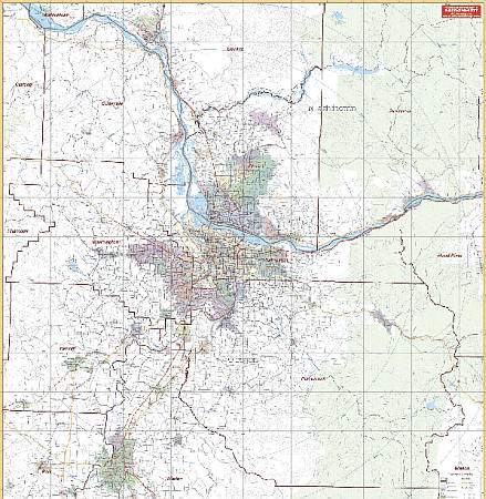
Scale 1:180,000. Size 54" W x 64" H. Laminated. Printed in color with a markable and washable surface and indexed on the face of the map. Contains hanging rails mounted on the top and bottom. The area of coverage includes the counties of Clackamas, Columbia, Multnomah, Marion, Washington, and Yamhill; and portions of Benton, Polk, Linn, Hood River Counties in Oregon; and Clark County and portions of Cowlitz, Skamania and Wahkiakum Counties in Washington. Boundaries are as follows: North: 45 miles to include Longview, West Longview in Cowlitz County, Washington; South: 65 miles to include Albany and Millersburg in Linn County; East: 50 miles to include Parksdale in Hood River County; West: 40 miles to Tillamook County. Details include major streets and all highways, county lines/names, mileage circles, zip codes/boundaries, airports, parks, water features, and longitude/latitude lines. Railed wall maps can be turned into pull down maps on spring rollers for an additional $40.
Write Your Own Review