
$249.95
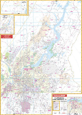
Size 54" W x 77" H. Laminated. The Chattanooga and Hamilton County, Tennessee Wall Map by Universal Map features up-to-date cartography of Hamilton County in complete street detail. Includes a laminated surface which is both markable and washable. A street index appears in a separate book. The area of coverage ranges: North: to Soddy Daisy and the Hamilton County line; South: to Rossville, Ft. Oglethorpe, Chattanooga National Park, and portions of Ringgold in Georgia; East: to Collegedale and the Bradley County line; West: to Hamilton County line, Signal, and Lookout Mountains. Insets include Downtown Chattanooga and Chickamauga, Georgia. Details are airports, post offices, hospitals, railroads, mileage circles, points of interest, government buildings, cemeteries, shopping centers, water features, recreational parks, city limits and annexations, all streets and highways, fire and police stations, educational facilities, golf courses and country clubs, zip codes and zip code boundaries. Framing rails are included on top and bottom for easy wall mounting. Railed wall maps can be turned into pull down maps on spring rollers for an additional $40.
Write Your Own Review