
$249.95
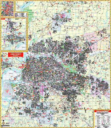
Scale 1:2,913. Size 60" W x 69" H. Laminated. The 3rd edition Wall Map of Memphis and Shelby County, Tennessee by Universal Map. Streets are indexed in a separate book. Framing rails are included on top and bottom for easy wall mounting. Covers all of Shelby County with the following boundaries: North: 2 miles north of the Tipton County line; South: to cover all of Southhaven, Olive Branch, and Horn Lake; East: to the Fayette County line including towns of Collierville and Arlington; West: to West Memphis, Arkansas. Insets are of Downtown Memphis, West Memphis, and Marion, Arkansas. Special features, data, and details covered with this map are all streets and highways, government buildings, airports, golf courses and country clubs, railroads, longitude and latitude lines, block numbers, shopping centers, recreation parks, mileage circles, cemeteries, educational facilities, hospitals, post offices, city limits and annexations, block numbers, longitude and latitude lines, township names, water features, fire and police stations, fire district lines, ZIP codes and boundaries, and assorted points of interest. Railed wall maps can be turned into pull down maps on spring rollers for an additional $40.
Write Your Own Review