
$17.95
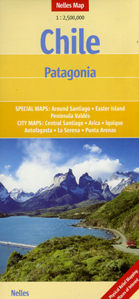
Scale 1:2,500,000. Size 20"x40". Printed on both sides. Nelles Verlag edition. Includes an inset city street plan of Santiago. Features: International and administrative boundaries, railroads, airports, National parks, beaches, tourist points of interest, and more. Distances in kilometers. Includes inset detailed city street plans for Santiago, Santiago environs, Iquique, Arica, Antofagasta, La Serena, and Punta Arenas. English and multilingual legends.
Write Your Own Review