Scale 1:4,000,000. Size 27"x39". Indexed. International Travel Maps edition.
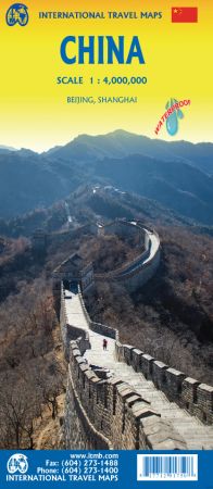
This edition is printed on waterproof, tear-resistant paper, and has a new cover picture showing a portion of the Great Wall. A cursory glance at the map will show an incredible number of motorways. We still show some as being under construction, but updating the road network is now essentially completed.
The amazing rapid rail network is now also essentially complete and all such train lines are noted on the map in a red-dashed format. Inset maps of Beijing and Shanghai are shown on side 2, as well as a list of Top Attractions.
We continue to show contentious political disputed territories based on practical administrative control, so India's northeast is shown as being under India's control, whereas parts of the northwest are shown under Chinese control. Taiwan is shown, simply because it is geographically close to mainland China. We do not wish to be drawn into the question of the future status of the island; it is independently operating, as it has been doing since 1949.