
$229.95
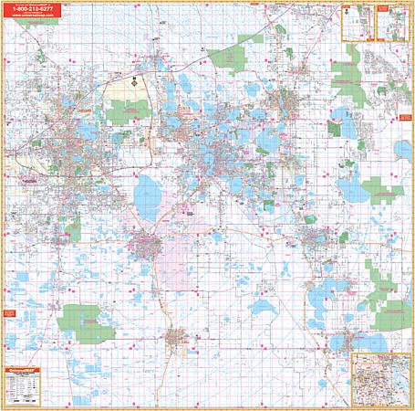
Scale 1:3,100. Size 72"x 72". Laminated. The 5th Edition Polk County, Florida Wall Map from Universal Map contains up-to-date cartography with new streets and changes, complete street detail and a laminated surface making the map markable and washable, and street indexing in a separate book. The area of coverage ranges North: to the Osceola County Line (Exit 58 on I-4); South:to the Highlands and Hardee County lines; East: includes Poiciana, and Lake Hatchineha; West: to the Hillsborough County line. Insets: vicinity map of Polk County; northern Polk County, along US27 to the Lake County Line. Details include: all streets and highways, post offices, hospitals, railroads, mileage circles, airports, cemeteries, shopping centers, water features, recreational parks, longitude and latitude lines, government buildings, fire and police stations, educational facilities, golf courses and country clubs, ZIP codes and boundaries, city limits and annexations, and section-range-township lines. Framing rails are included on top and bottom for easy wall mounting. Railed wall maps can be turned into pull down maps as a $40 option.
Write Your Own Review