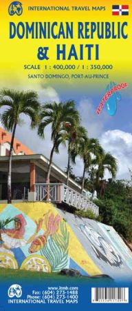
Scale 1:400,000 / 1:350,000. Size 27"x39". International Travel Maps edition.
We spent a week on the lovely island of Hispaniola, home to the Dominican Republic and Haiti, last December. We spent several days driving the highways, checking our information and this new edition is the result.
Frankly, we were surprised how accurate the digital artwork was this is the first time that we have been able to ground-truth a map shortly before printing, and after updating. We did discover one new toll highway, and we learned that Santa Domingo floods rather easily during heavy rains. We now show a lot of what I would consider to be local farm roads they exist, but it is doubtful any tourist would use them.
We also discovered a new motorway-like highway that is under construction between Santiago and Puerto Plata, but we are leaving it off the map for now as work has just begun and we saw little indication that it would be completed. We can add it if we see progress. The Haiti side of the sheet remains a work in progress.
There are now five border crossings with Dom Rep and a lot of cross-border traffic, but the road network in Haiti remains quite basic. We have added hundreds of small local roads to our artwork; most are simple dirt tracks. We have also added a series of top attractions for Haiti, highlighted in red, and a separate series for Dom Rep. Although this could be considered a significant update, we have retained the same ISBN (and price) for this edition.


