
$12.95
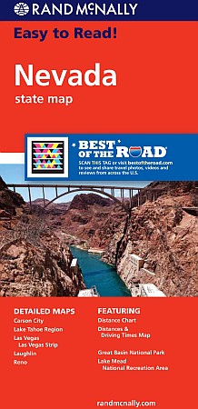
Rand McNally edition. The map has clearly labeled Interstate, U.S., state, and county highways; a mileage chart and a Mileages & Driving Times Map; indications of parks, points of interest, airports, county boundaries, and more; easy-to-use legend; and a detailed index. Detailed inset maps include: Carson City, Lake Mead National Recreation Area, Lake Tahoe Region, Las Vegas, Las Vegas Strip, Laughlin, and Reno.
Write Your Own Review