
$17.95
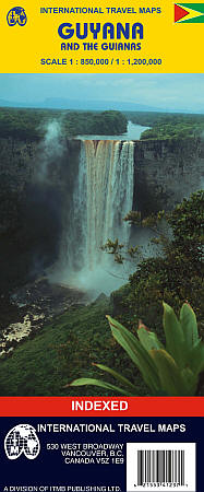
Scale 1:850,000. Size 27"x39". International Travel Maps edition. Elevations and topographic features are show by hypsometric color tints. Shows all types of roads and tracks, railroads, ferry routes, contour lines, Amerindian Reserves, national parks, nature preserves, cities, towns, villages, points of interest, tourist information centers, public telephones, hospitals, medical centers, accommodations, camp sites, airports, mini-bus stops, cathedrals, museums, border crossings, lighthouses, and embassies. Lots of useful travel information. Also includes an inset city street plan of Georgetown. SAMPLE MAP
Write Your Own Review