
$309.95
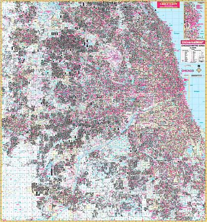
Scale 1:3,520. Size 70" W x 76" H. Laminated. The Chicago, Illinois Metro Area Wall Map by Universal Map. Up-to-date cartography with new streets and changes, full-color, lamination, and street indexing in a separate book. Covers all of Cook and Dupage Counties and portions of Kane and Will Counties with boundaries -- North: to Barrington Hills, Wheeling, and Glencoe; South: to Joliet, New Lenox, Frankfort, and South Chicago Heights; East: to Lake Michigan including Calument City and Lynwood; West: to Aurora, Elgin, and Batavia in Kane County. Also includes an inset map of Downtown Chicago and details airports, cemeteries, hospitals, railroads, post offices, all streets/highways, shopping centers, water features, recreational parks, mileage circles, city limits and annexations, government buildings, fire/police stations, educational facilities, golf courses/country clubs, ZIP codes/boundaries, section/township/range lines, and other points of interest. Framing rails are included on top and bottom for easy wall mounting. Railed wall maps can be turned into pull down maps on spring rollers for an additional $40.
Write Your Own Review