
$12.95
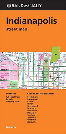
Scale 1:34,000. Size 37"x46" (big map!). Indexed. Rand McNally edition. Rand McNally's folded map for Indianapolis is a must-have for anyone traveling in and around this part of Indiana, offering unbeatable accuracy and reliability at a great price. Our trusted cartography shows all Interstate, U.S., state, and county highways, along with clearly indicated parks, points of interest, airports, county boundaries, and streets. The easy-to-use legend and detailed index make for quick and easy location of destinations. You'll see why Rand McNally folded maps have been the trusted standard for years.
Write Your Own Review