
$17.95
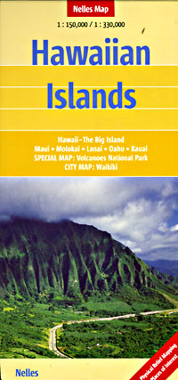
Scale 1:150,000 and 1:300,000. Size 20"x36". Nelles Verlag edition. Printed on both sides. Each island is blown up and shown individually as an inset map, so there is lots of detail on this map. Includes all types of roads, road numbers, distances between points in miles, paths, trails, mountain peaks, altitudes in feet and in meters, cities, towns, villages, national parks, forest reserves, golf courses, places of interest, beaches, camping grounds, ancient sites, caves, churches, temples, and hotels. BIG >> SAMPLE MAP << Small sample map
Write Your Own Review