
$12.95
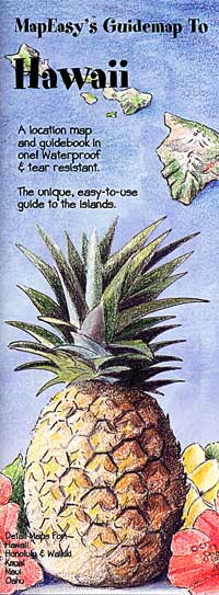
MapEasy edition. Also includes city street plans of downtown Honolulu and Waikiki. The islands of O'ahu, Lana'i, Kaua'i, Maui, and the Big Island of Hawai'i are shown as separate inset maps. Perfect for the intrepid or armchair traveller, this charming map combines the best of a guidebook and a location map, all in one. The map is color coded to include information about the most interesting sites on the islands, hotels, restaurants, and shops. Printed on tear-proof, water-resistant, lightweight, paper-like plastic, that is incredibly durable. Also includes interesting details about all the important tourist areas.
Write Your Own Review