
$17.95
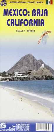
Scale 1:650,000. Indexed. International Travel Maps edition. Waterproof and Double-Sided.
This road map of Baja California Peninsula to plan your trip, to prepare your itinerary, and to travel independently in this Northwest Mexican region.
Touristic information: airports, border crossings, gas/filling stations, sea ports, hotels, camping sites, archaeological sites, post offices, libraries, waterfalls, beaches, cave paintings and petroglyphs, wells or springs, volcanoes, whale watching, mines and quarries, surfing, kayaking, museums, scenic viewpoints, points of interests, lighthouses.
Write Your Own Review